Located in the Dragoon Mountains of Arizona, the Cochise Trail is a spectacular 4 3/4 mile historic Indian trail connecting the west and east canyons of Cochise's Stronghold. Lots of information can be found at cochisestronghold.com, but if you're thinking about hiking the trail, you might want a bit more information than is provided.
In May of 2004 I took my 11 year-old son on his first backpacking trip. We were dropped off on the west side, hiked up the canyon, spent the night, and finished the hike at the east side campground the next day.
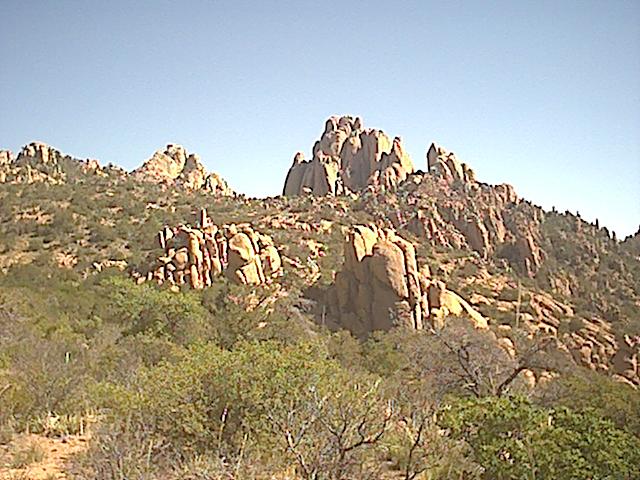
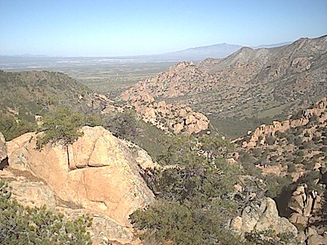
A view down into the west stronghold
To get to the trailhead on the west side, you take Middle March Road (lat. 31 44.185N, long. 110 05.075W, ele. 4380 ft.) north of Tombstone. This is a well graded dirt road. Just after you enter the Coronado Nat. Forest, turn north on a poorly maintained dirt road (31 50.813, 110 00.194, 5131'). You can go a few miles to some primitive camping areas (31 52.436, 110 01.391, 4895') by car, but to go the whole 10 miles you need a pickup or better. Nearing the west canyon there is a short road to a turnaround (31 54.244, 110 02.460, 4917'). From here, hiking trails head north and south along the west side of the Dragoons. A short distance further is another short side road making a sharp turn to the right (31 54.646, 110 02.367, 4900') going to Council Rocks, which is a short climb up from the parking area. The only sign is one stating that camping is prohibited in this area. The road heads east up the canyon, which usually has intermittent water in areas.
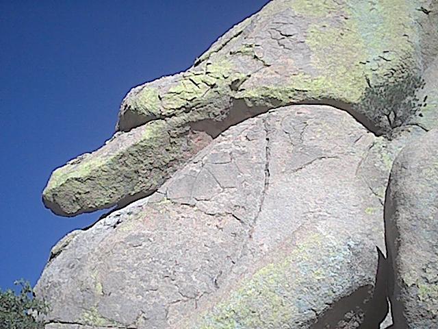
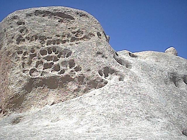
One of many rock forms along the trail
At the end of the road (31 55.801, 109 59.880, 5148') is the trail head. The trail is an easy to follow, well-maintained forest service type with switchbacks and water turn outs. The trail ascends rapidly to the divide in about 1.8 miles.
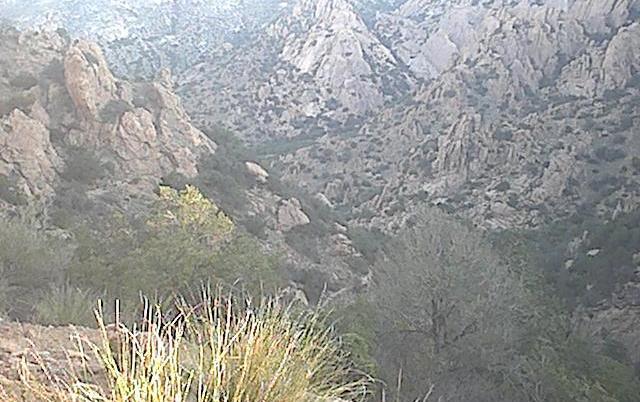
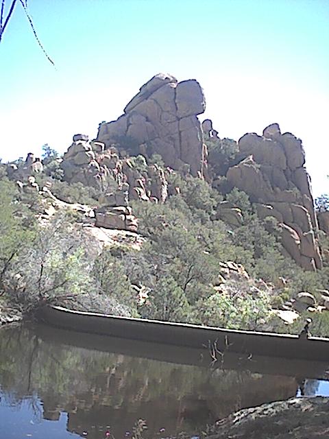
A view into the east canyon
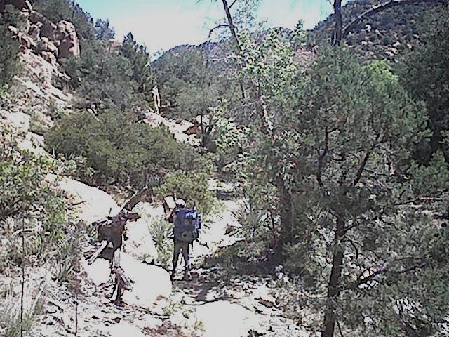
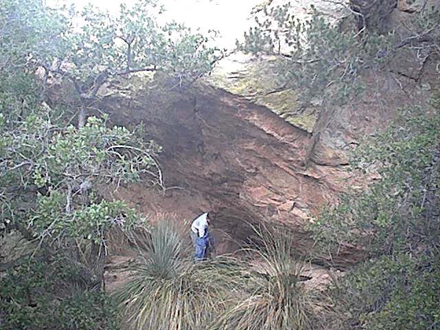
Since we left just before sunset, we camped under a rock overhand (31 55.572, 109 59.557, 5433') about half way up, which turned out to be about the only spot of flat ground along the west trail. Unlike the trailhead, mosquitoes were not a problem here, and the low temperature was only 58 F, which was warmer than down in the valley.
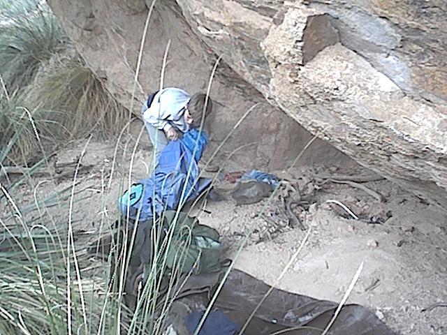
Home, sweet home
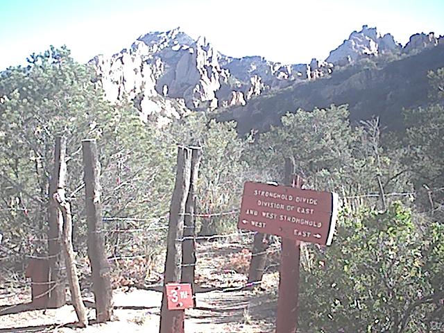
We made it to the divide (31 55.268, 109 59.061, 5950') the next morning from where it is a gradual 3 mile drop to the east side's developed campground. There is a fence on the divide and a trail follows it north on the west side. Follow it to higher ground for a better view.
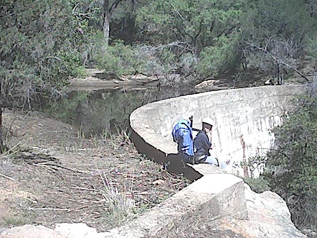
About half a mile down is a rock charn apparently marking an area where people have been camping--it's flat and has a large fire ring. One mile down is Half Moon Tank, a rather impressive dam built in 1952.
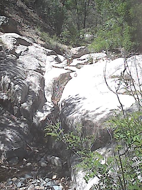
The water really is black
Two miles down, or 1 mile up, is Cochise Spring where water comes up from the gravel, fills about a 30 gallon basin, then forms a small waterfall.
The dark vertical streak is water
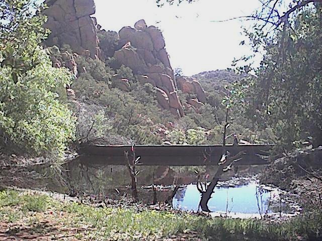
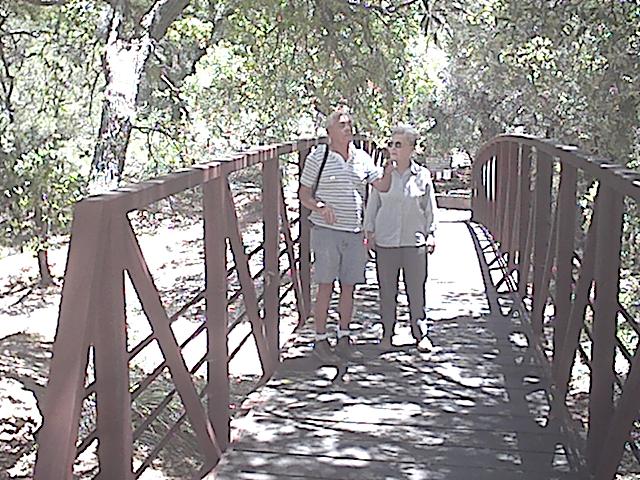
The east trailhead starts to the left of the campground bathrooms at the bridge. There is a short 0.4 mile nature trail that loops back to the campground (31 55.340, 109 58.040, 4856'), and to the left of the bathrooms is a 400 foot trail with information about the history of Cochise Stronghold.
If you can't hike just one-way, most people hike from the east campground to the divide, then back.
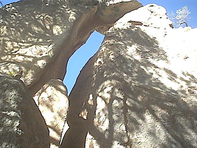
Exploring off-trail is worth-while
This rock is quite close to the east campground
Another view of Half Moon Tank
It's 0530, time to pack up